
British Isles – Pack
£6.75
Description
- Suitable for:
- - KS1
- - KS2
- Compatible with:
- - Microsoft PowerPoint
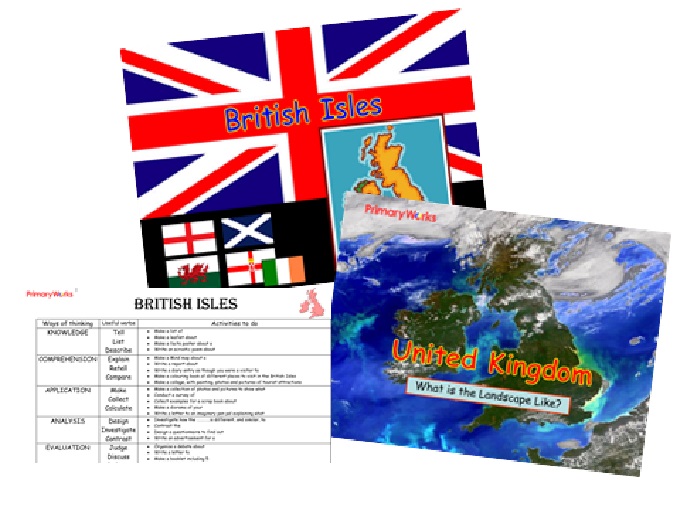
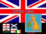
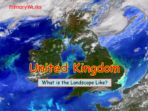
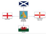
Download this 29 slide PowerPoint and pack to help children learn about the countries that make up the British Isles, develop their geographical knowledge, skills and understanding of places and how the British Isles differs from the United Kingdom. This pack is a great resource for teaching KS1 or KS2 children! It includes 2 PowerPoints to use as prompts for discussion and thinking skills activities children will be motivated and engaged by. The PowerPoint on the United Kingdom will help children understand the landscape and ask geographical questions like, ‘What is the landscape like?’ ‘What do I think about the landscape?’ and describe the countries of England, Scotland, Wales and Northern Ireland. A fantastic resource for teaching primary geography to KS1 or KS2 children!
Related products
-
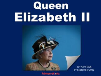
Queen Elizabeth 11
-
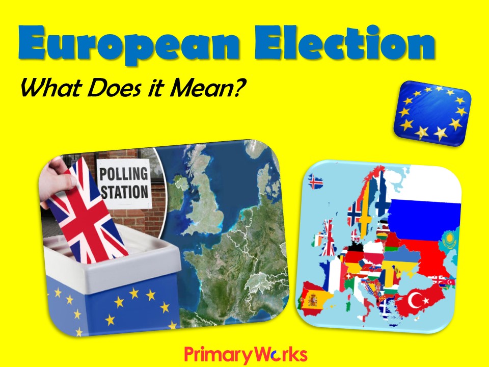
European Referendum
-
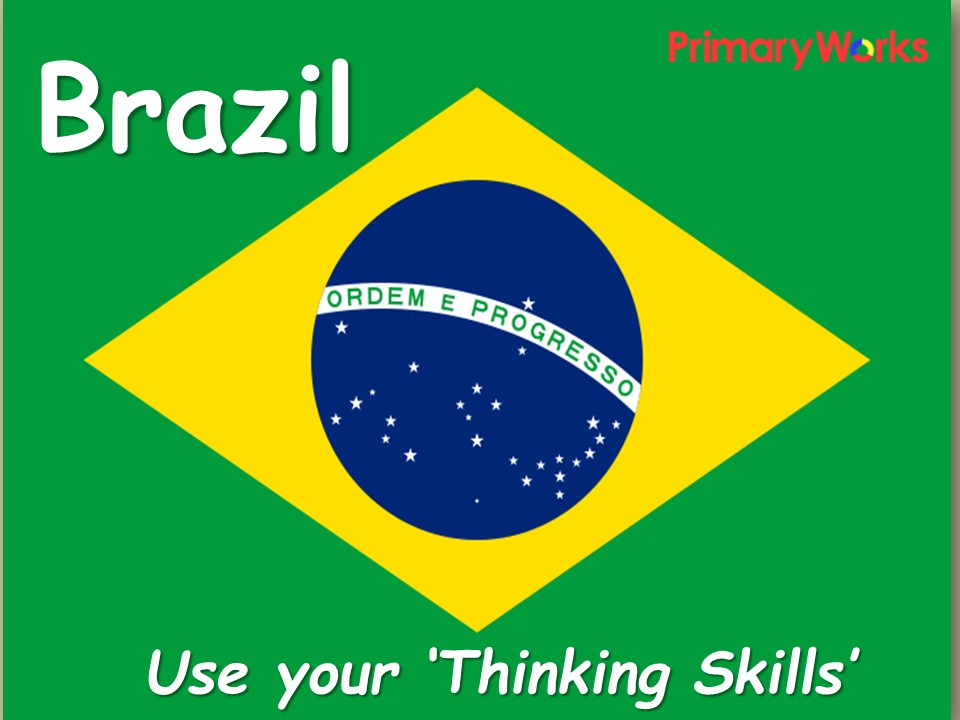
Brazil – Thinking Skills Activities
-
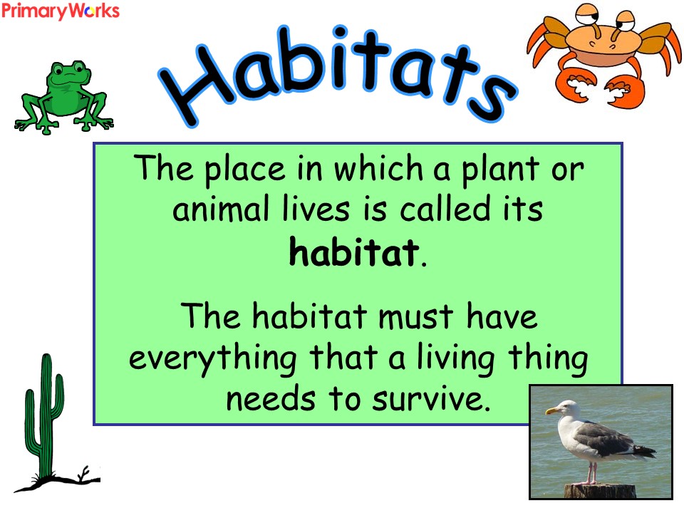
Habitats Pack
-
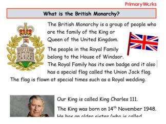
British Monarchy – KS1 Reading Comprehension
-
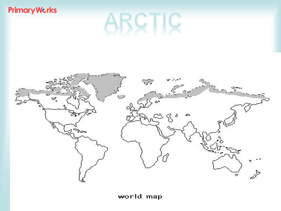
Habitats – The Arctic
-

British Monarchy – Reading Comprehension Pack
-
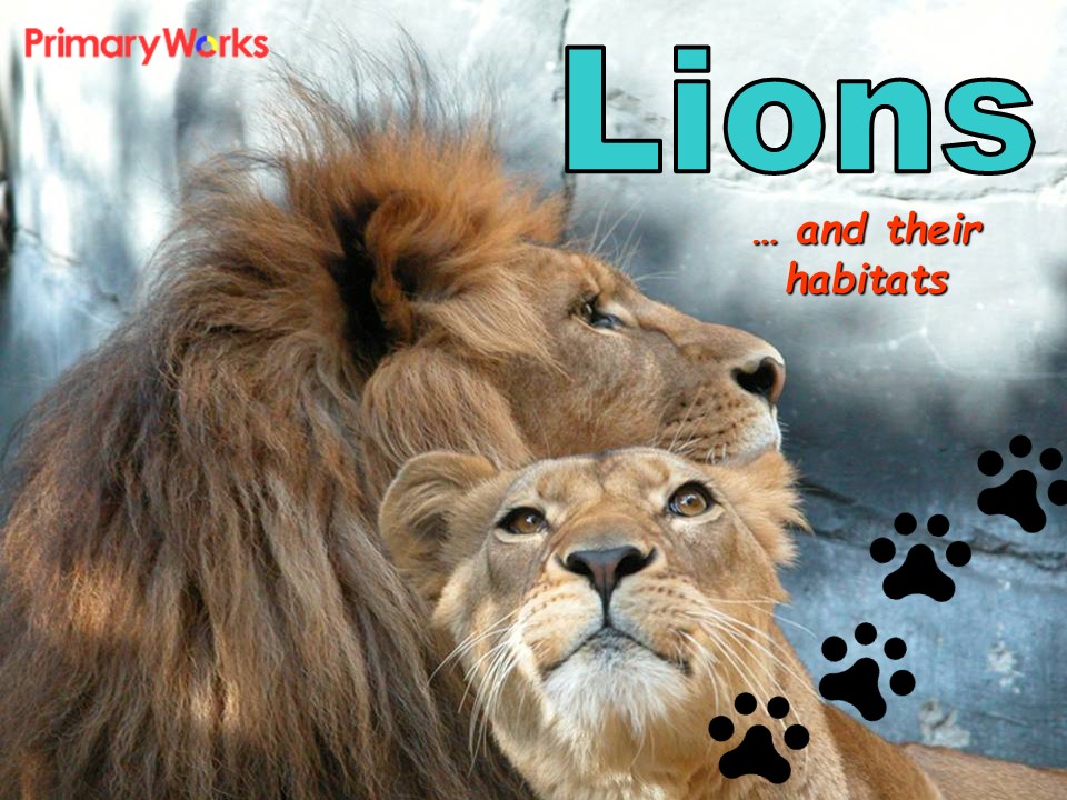
Lions and Their Habitats
-
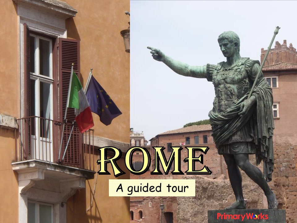
Rome – A Guided Tour
-
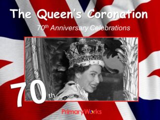
Queen’s Coronation – 70th Anniversary
-

Manchester – A City Walk
-
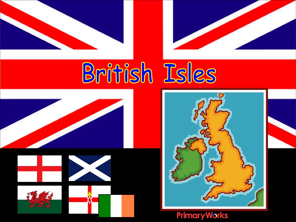
British Isles